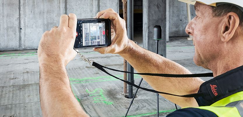
Ultimate on-site documentation and collaboration with the BLK3D
In this webinar, we show you how you can use the Leica BLK3D as a standalone solution and how you can combine the BLK3D with the Leica RTC360 and BLK360 for ultimate on-site documentation and collaboration.
Remote collaboration now more than ever is required for architecture, engineering and construction and combining the BLK3D with products such as Autodesk BIM360 can really enhance onsite documentation using its unique onboard photogrammetric functionality which enables you to take measurements on pictures.
Our presenter covers some of the following demonstrations:
- how to add reality capture images to a plan
- how you can download a plan from BIM360 and then solve issues on site
- how to control your Leica BLK360 or RTC360 with the BLK3D
- how to tag using Reality Capture images and publish these images from the field
- working with Cyclone REGISTER 360, publishing to Leica JetStream and Leica CloudWorx
Presenters
Gregg Franz
Reality Capture Segment Manager, Leica Geosystems
Experience level
This webinar is suitable for beginners through to more advanced users

