Get your scanning solution eGuide.
Design based on reliable, up-to-date information.
Nowadays, accurate two-dimensional floorplans and three-dimensional models are a necessity rather than a ‘nice-to-have’. The question is no longer whether these plans and models are needed but rather how new ones are created and maintained, enabling decision making on as-built data.
Projects are always likely to change from the initial concept.
It is nearly impossible for initial designs to foresee all realities that might be discovered on-site. However, designs based on accurate and complete information significantly reduce this risk and enable the effective management of unforeseen discoveries, the implementation of necessary adaptions, and prevent rework.
Adapt quickly with the help of a digital twin.
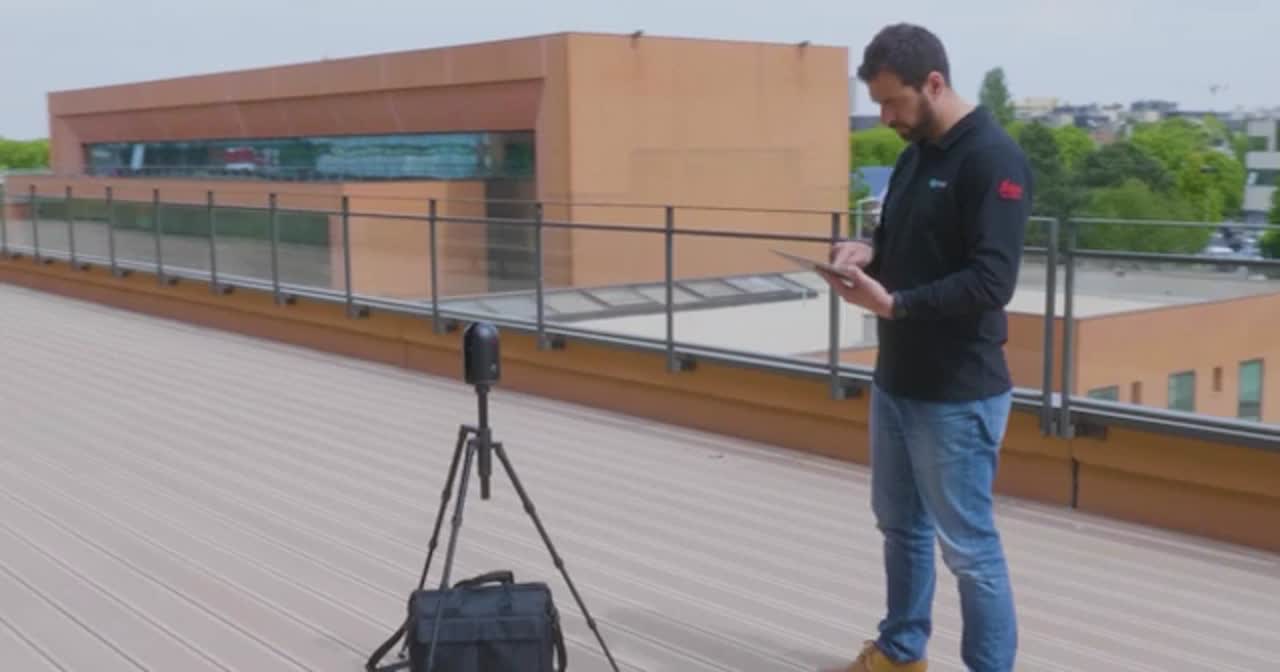
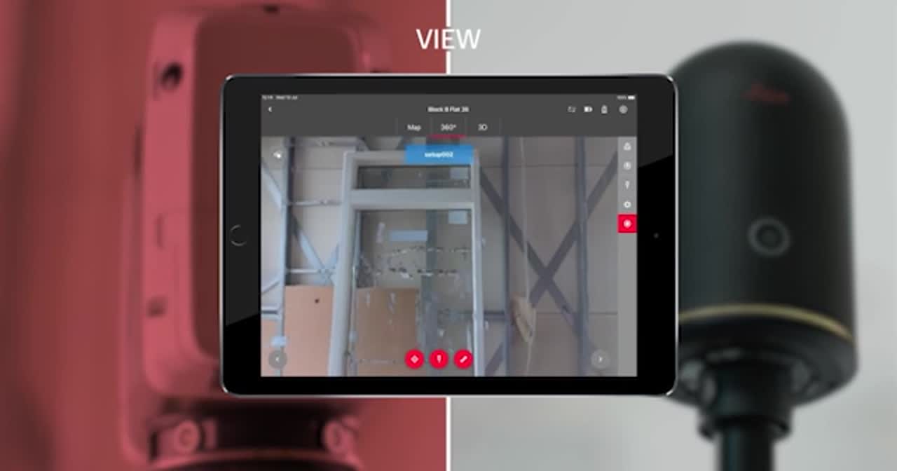
Technologies, such as 3D laser scanning, allow for the creation of accurate two-dimensional floorplans, three-dimensional models, and BIM models, based on point cloud data. Having this data not only enables the creation of precise designs and the efficient adjustment of those according to requirements, but also opens up the possibility of designing smarter environments based on accurate representation of reality, often called a digital twin.
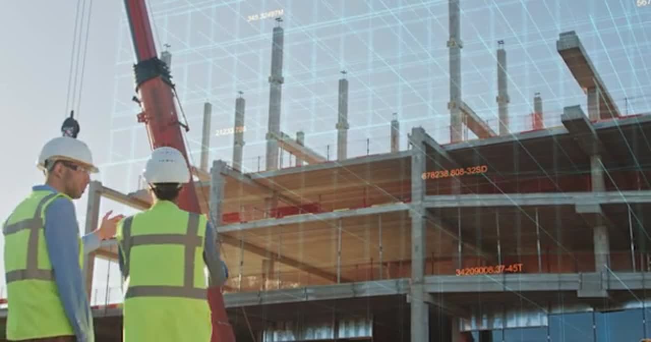
Decisions based on actionable information and thinking about the project in context for its whole life.
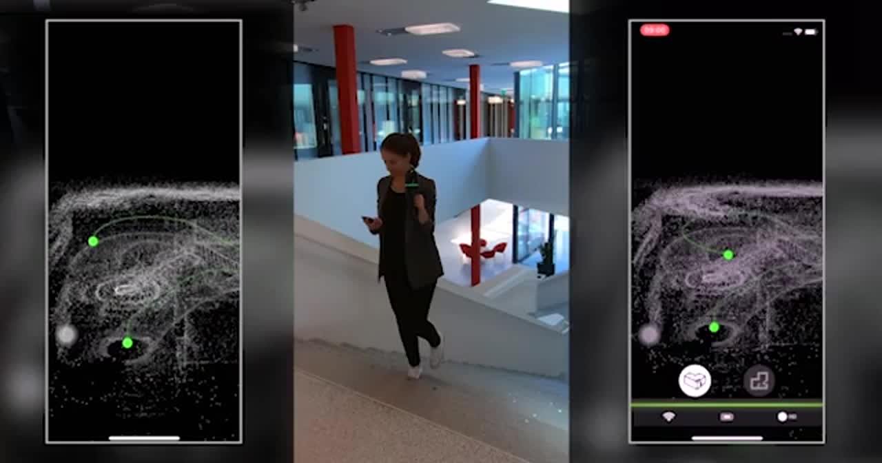
Today’s reality capture technologies are much simpler to use, and software has been streamlined. The process of capturing data , processing it, and using it for modelling different design scenarios allows for smarter and faster decision making. Challenging geometries are easily transported into the digital world and the feasibility of complex or unconventional designs is easily verified.
Laser scanning – today the expected standard?
Many have started their digital journey and are now true advocates – having accurate data has become an invaluable asset. The visualisation of designs in the form of digital, 3D models is a common expectation today. When asked, most people working with laser scanning solutions today cannot imagine having worked any other way.