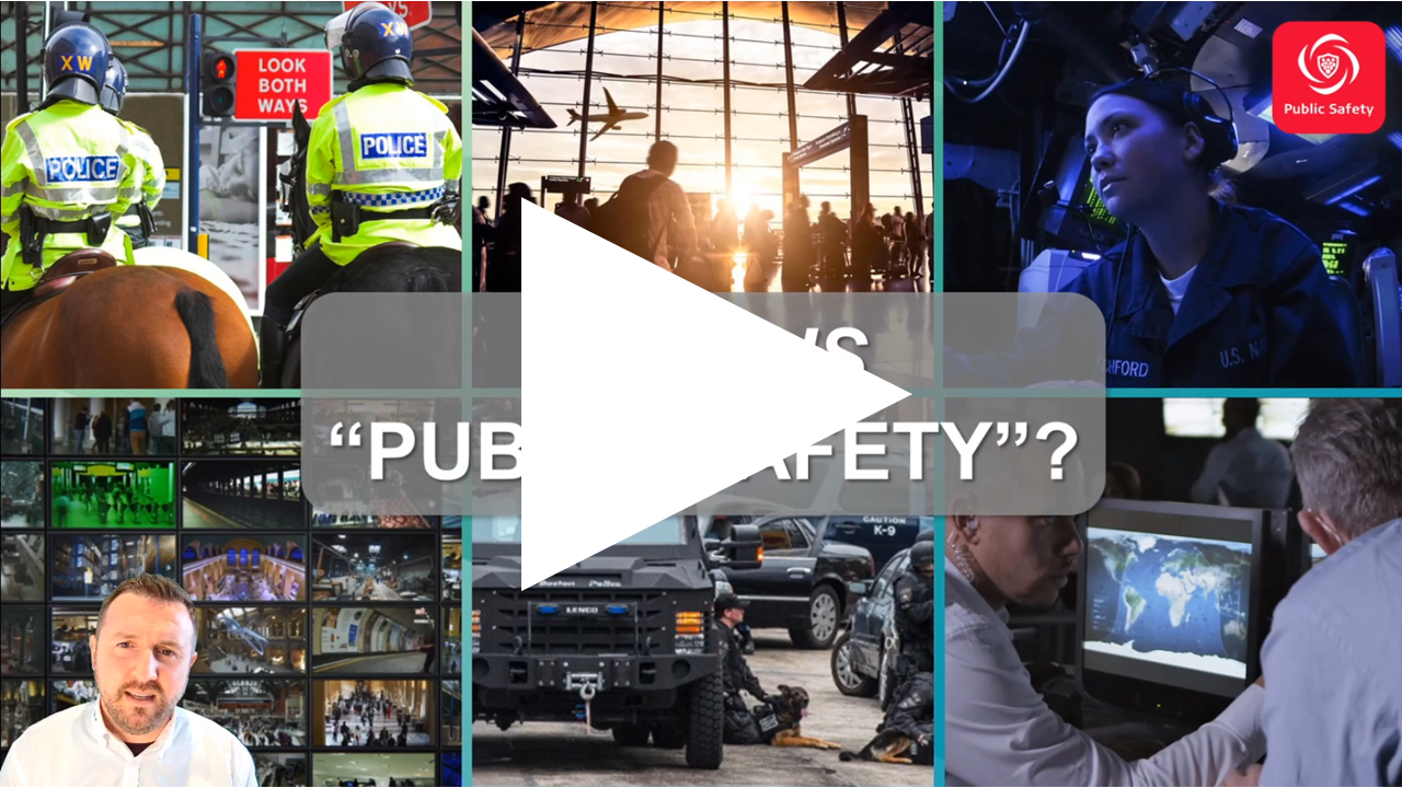
Public Safety in the age of Reality Capture
How to leverage the latest advancements in the field, in the office and in the courts
As police and security departments around the world have rapidly added reality capture technology to their scene recording tool-set, Leica has continued to innovate to support the unique workflows and deliverables required for public safety organisations —beginning with effortless data alignment in the field using Cyclone FIELD 360 and with presentation through TruView, evolving into detailed scene diagrams in Map360. Join us for this webinar to explore Leica Geosystems’ Public Safety Solutions for Reality Capture users.
This webinar will include demonstrations of Leica Geosystems’ dedicated Public Safety Software, Map360, as well as discuss how its other Reality Capture software products can be leveraged to support investigative work.
We will discuss our unique field-to-finish workflow with a special focus on creating public safety deliverables.
- How GeoTags captured by field teams can support in-office deliverable creation
- Creating simple, orthoimage “plans” from raw scan data
- Creating crime scene sketches—both simple and advanced depending on project needs
- What options you have for sharing data internally or externally
- Creating file-based, shareable scene presentations including scene models, witness viewpoints and Snapshots with Markups

Watch Now