
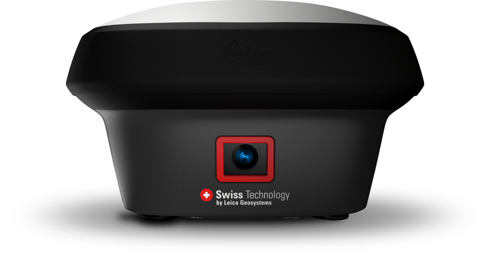
Imagine the power of visual positioning. What if your RTK Rover can see?
The new Leica GS18 I GNSS RTK rover with visual positioning promises to dramatically increase efficiency by enabling you to measure hundreds of points in minutes, reach previously inaccessible points, and capture points from a safe distance. Essentially, the GS18 I rover can see.
Watch our on-demand webinar and find out what to expect from our latest survey-grade GNSS RTK rover and how with Visual Positioning changes the game for surveyors.
This webinar will allow you to:
-
Understand Why GNSS with visual positioning is the new standard in surveying
-
Learn how the Leica GS18 I is different from any other imaging solution
-
See practices for using point clouds created from imagery
-
Discover how to optimize field and office workflows to maximize efficiency gains and growth opportunities
It will be of benefit to:
- Surveyors
- Civil Engineers
- Survey Managers
- And many more