THINK FORWARD WEBINAR SERIES
Presenters: Bob Kilburn & Brian Elbe, Leica Geosystems
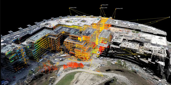
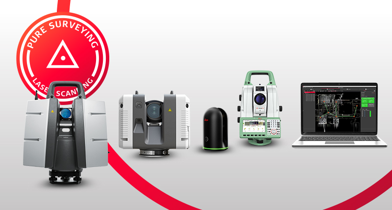
You’ve been thinking about point clouds as a means to capture more business and drive productivity beyond point-by-point reflectorless measurements. But what’s the best way to add 3D laser scanning to your existing workflows? From multistations and scanning total stations to portable and easy-to-use laser scanners, the technology landscape is both intriguing and confusing.
In this on-demand Q&A webinar, we’ll answer the most common questions about laser scanning and give you the insight to make an informed decision. You’ll learn:
- The difference between a multistation and a scanning total station
- What to look for in a total station with laser scanning capabilities
- When to use a scanning total station vs. a dedicated laser scanner
- What to expect from field and office software
- How to use point clouds to grow your business
Whether you’re just beginning to explore laser scanning or want to keep up with the latest state-of-the-art technology, you’ll want to make sure you see this informative session. Watch it now


