GS18 I Webinar Part 2: Discover how the GS18 I capabilities impact productivity, efficiency and ROI in surveying
In our first webinar, we shared how the new Leica GS18 I GNSS RTK rover with visual positioning promises to dramatically increase efficiency by enabling you to measure hundreds of points in minutes, reach previously inaccessible points, and capture points from a safe distance. You can watch the on-demand webinar here.

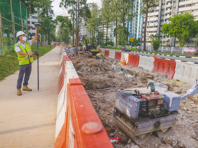
In this second on-demand webinar, we partnered with Jimmy Tan, owner of JTRS Registered Surveyor who will demonstrate how he has used the GS18 I in various applications and projects. He will also share how he has used visual positioning and other GNSS innovations to create new opportunities for his business.
In this webinar you will:
-
Learn where GNSS RTK with visual positioning will fit into a surveyor's toolbox
-
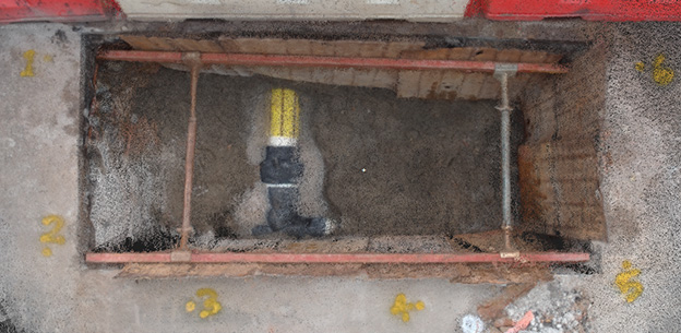
Explore how to use the GS18 I in various applications such as trenches, areas underneath bridges and more.
-
Explore optimal workflow using Captivate and Infinity
-
Get helpful tips and tricks to obtain the best results using the GS18 I and how to truly benefit from GNSS modernisation
Who should attend:
- Surveyors
- Utility Surveyors and Utility Service Managers
- Civil Engineers
- And many more
Our webinar hosts


Senior Sales Engineer, Leica Geosystems Owner, JTRS Registered Surveyor

