
MOBILE MAPPING. SIMPLIFIED.
The BLK2GO is a handheld imaging laser scanner that creates a 3D digital twin while you walk through a space. It is the fastest and easiest way to scan a large building, structure or environment.


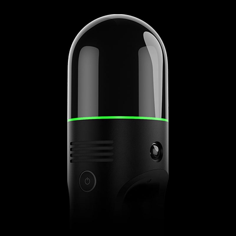
SIMPLE
One button is all you need to control the BLK2GO. Turn it on, walk, and the BLK2GO takes millions of accurate measurements to recreate the space around you in 3D.
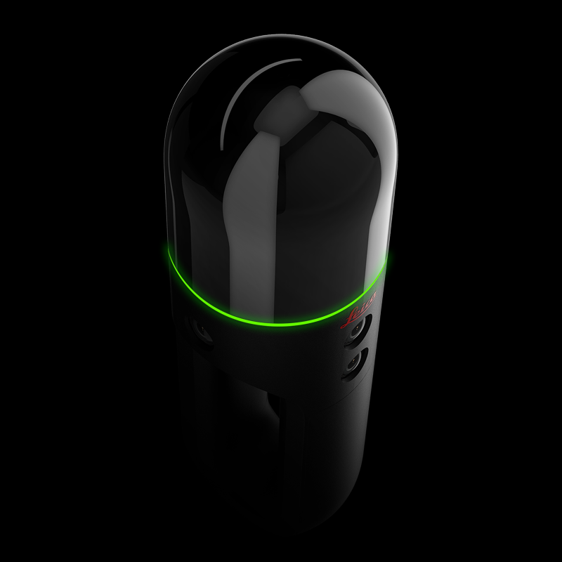
SLEEK
A masterpiece of cutting-edge engineering design.
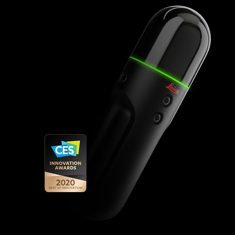
AWARD WINNING
The winner of multiple industry awards including CES Best of Innovation 2020, the BLK2GO is compact, lightweight, and so easy to use that anyone can master it.

 |
 |
Top 5 Q&As from SPAR 3D Mobile Mapping Webinar with Andy FontanaAndy Fontana answers five questions following a webinar with SPAR 3D about Mobile Mapping, where he presented the brand new BLK2GO. |
Five Things to Know When Choosing a Mobile or Terrestrial Laser ScannerWe take you through the basics of the BLK360 and the BLK2GO, the differences between them, how they can work together, and which would be best for you. |