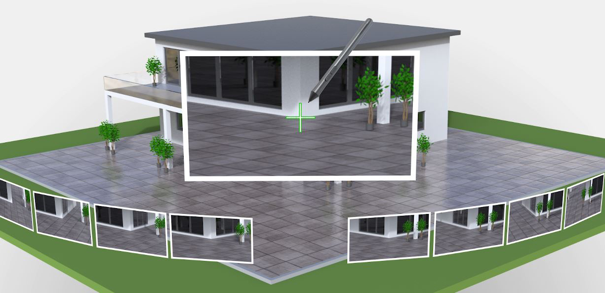
What if your GNSS RTK rover could see? What would that mean for your business?
The new GS18 I GNSS RTK rover with visual positioning promises to dramatically increase efficiency by enabling you to measure hundreds of points in minutes, reach previously inaccessible points, and capture points from a safe distance. Essentially, the GS18 I rover can see.
To find out how this capability impacts surveying in the real world, our team of product managers and support engineers in the US and Canada put the GS18 I to the test on several applications that have previously been limiting for GNSS. In this on-demand webinar, they’ll walk you through their discoveries and let you know about what you can really expect from the latest GNSS innovation. You’ll learn:
- Best practices for using point clouds created from imagery vs. LiDAR
- How this innovation is different from any other imaging solution
- Where GNSS RTK with visual positioning fits into a surveyor’s toolbox
- How to optimize field and office workflows to maximize efficiency gains and growth opportunities
- How to define standard operating procedures to achieve the fastest ROI
- Why GNSS with visual positioning is the new standard in surveying
Join us on this exciting journey as we explore the true potential of this groundbreaking GNSS innovation.
Learn More

