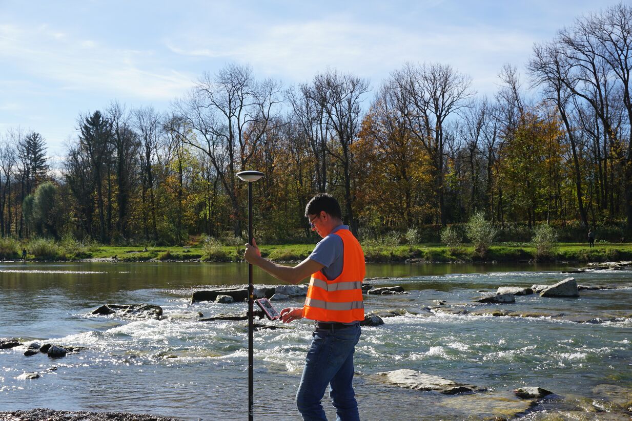
Fast, repeatable accuracy is now standard and accessible to everyone in GIS data collection
Smart antennas, intelligent software, reliable services and seamless integration make it possible to visualize and measure data in the field at centimeter level accuracy. The result is significant time savings, high-quality deliverables, and confidence in the result. In this on-demand presentation, Jason Hooten explores how some of the latest advances simplify GIS field data collection. Fill out the form to watch it now.
