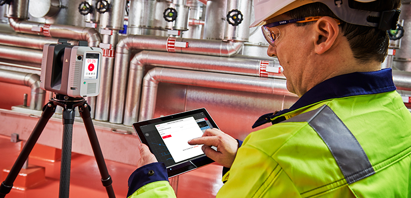
Digitalisation of industrial environments
PPM environments present a variety of challenges when carrying out measurement tasks. Information can easily be missed, sites may be unsafe or at height, and often there are areas that are simply impossible to measure manually.
Reality Capture technology such as the Leica RTC360 3D Laser Scanner allows the fast and accurate creation of Digital Twins - digitised versions of physical assets on sites such as Power Plants, Oil and Gas Plants, Manufacturing Assembly Lines and Shipyards. These Digital Twins can then be visualised when in a safe environment to take measurements, tag assets, validate information or plan future site alteration.
Join our product experts Mostafa Gamal and Daryl Lim where they will show how digital transformation is improving efficiency and increasing safety in PPM environments.
This webinar will allow you to:
- Understand how Reality Capture technologies and Digital Twins can be utilised in PPM environments
- Learn how to increase safety and efficiency on-site
- Discover the latest Reality Capture technology from Leica Geosystems
- See how easy it is to process and visualise data with a range of software solutions from Leica Geosystems
This webinar will be of benefit to:
- Engineers
- Surveyors
- Construction Professionals
- MEP Engineers
- Facility Managers
- Oil & Gas Employees
- Manufacturing Engineers
- And many more...
Webinar Hosts
 |
 |
Mostafa GamalTechnical Support Manager, |
Daryl LimSenior Sales Engineer, |

